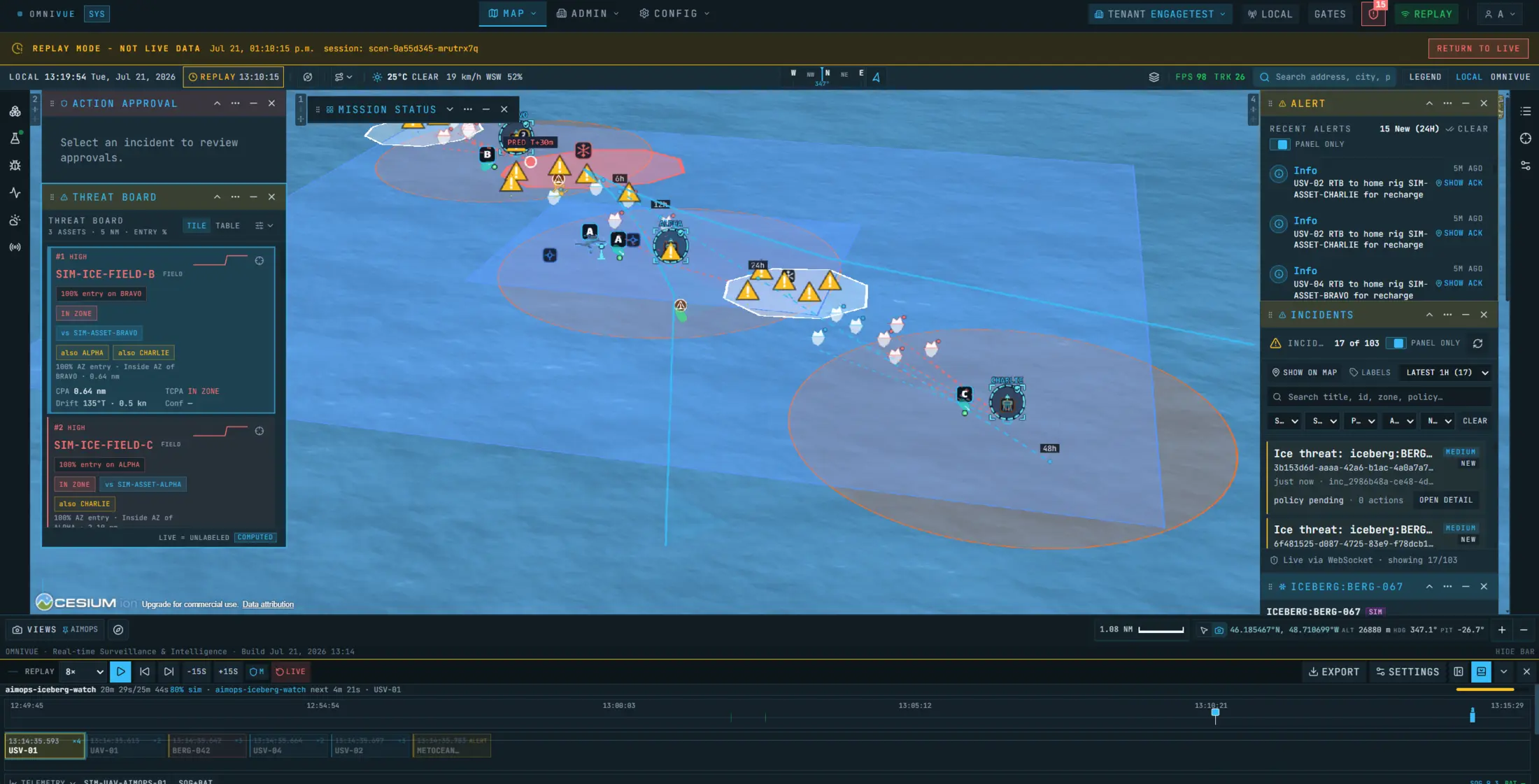
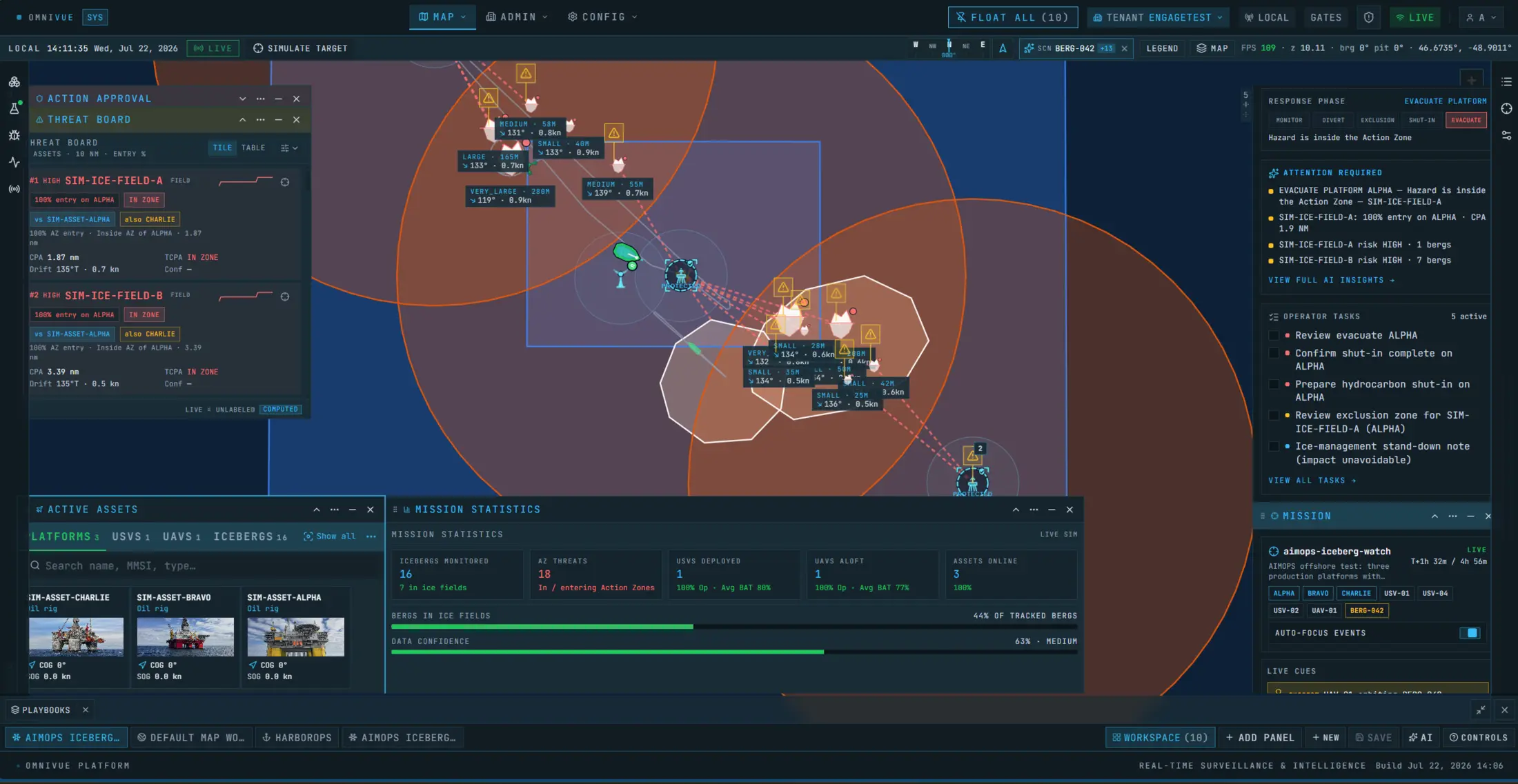
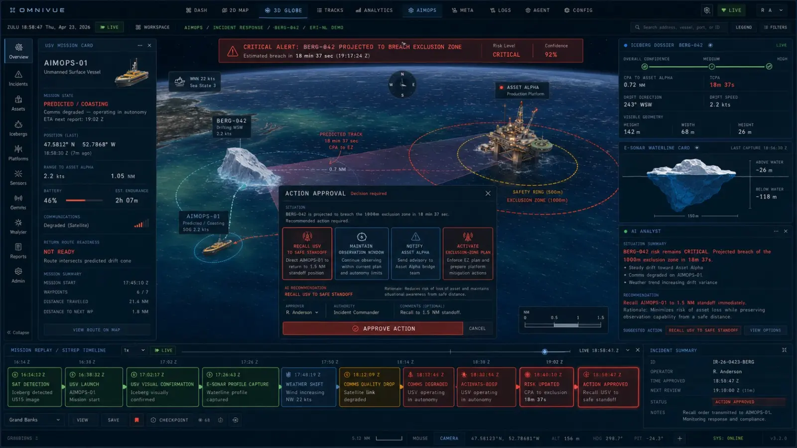
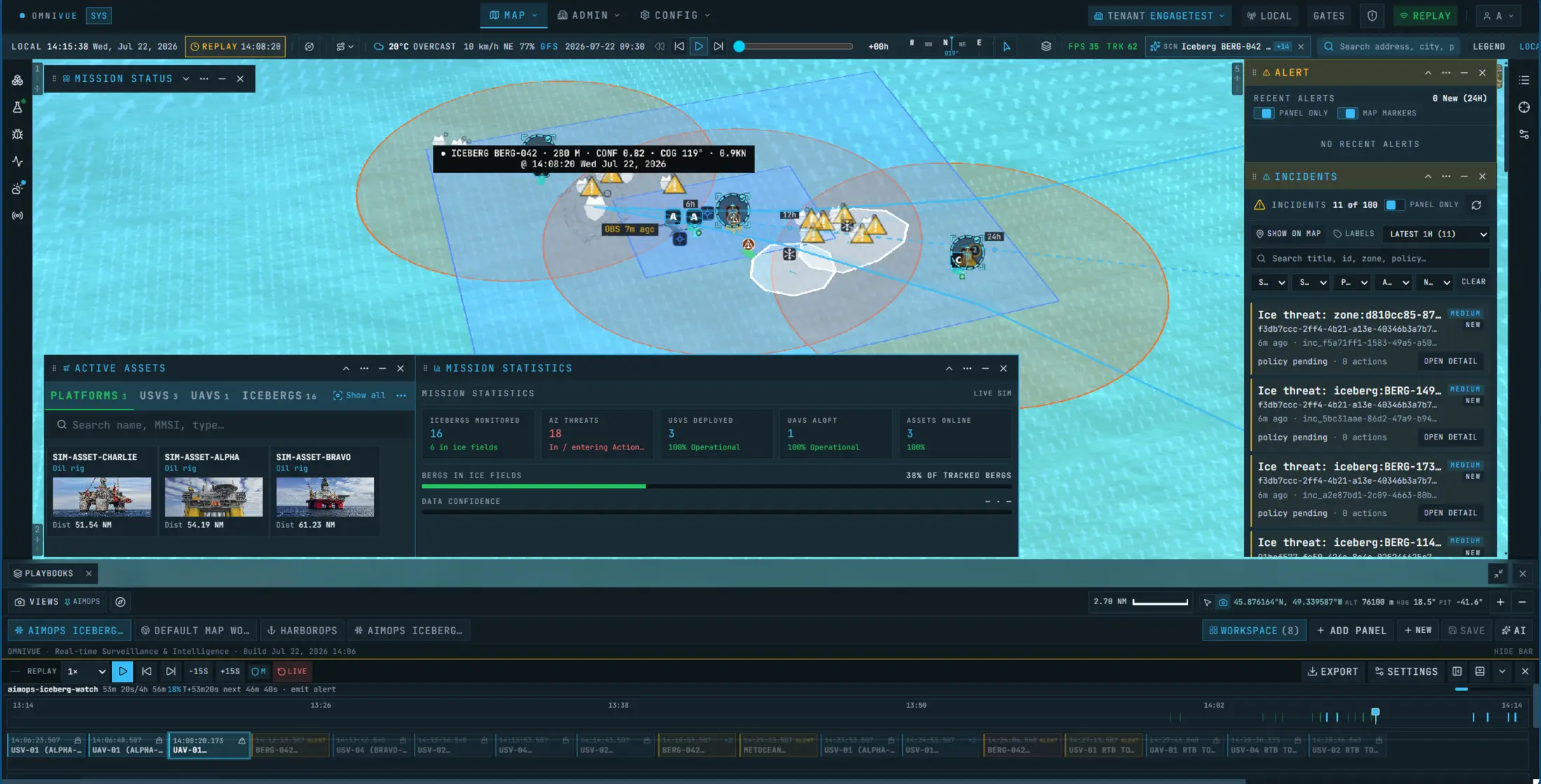
Regional awareness
A wide-area map of ice fields, forecast corridors, data freshness and protected assets.

omniVUE / Offshore & Ice Operations
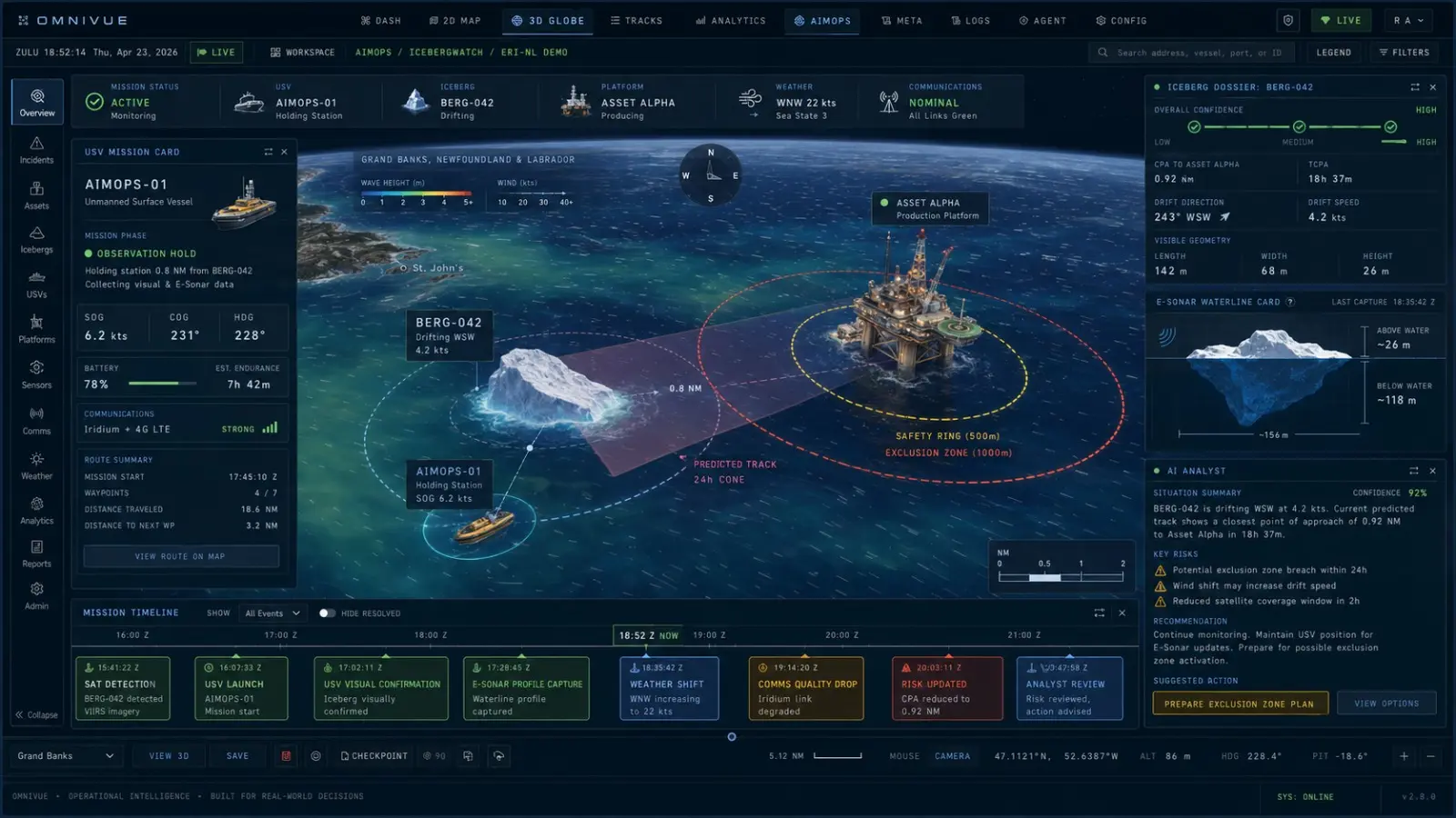
Ice observations, forecasts, offshore assets and your ice management procedures in one picture, from the regional view down to a single iceberg.
01Overview
An observation is only useful once it is tied to the assets at risk, how reliable it is, what resources are free and what your ice management plan says to do.
02Scenario
omniVUE ranks the icebergs by threat, brings in monitoring assets and conditions, and lays out the response tasks for approval.
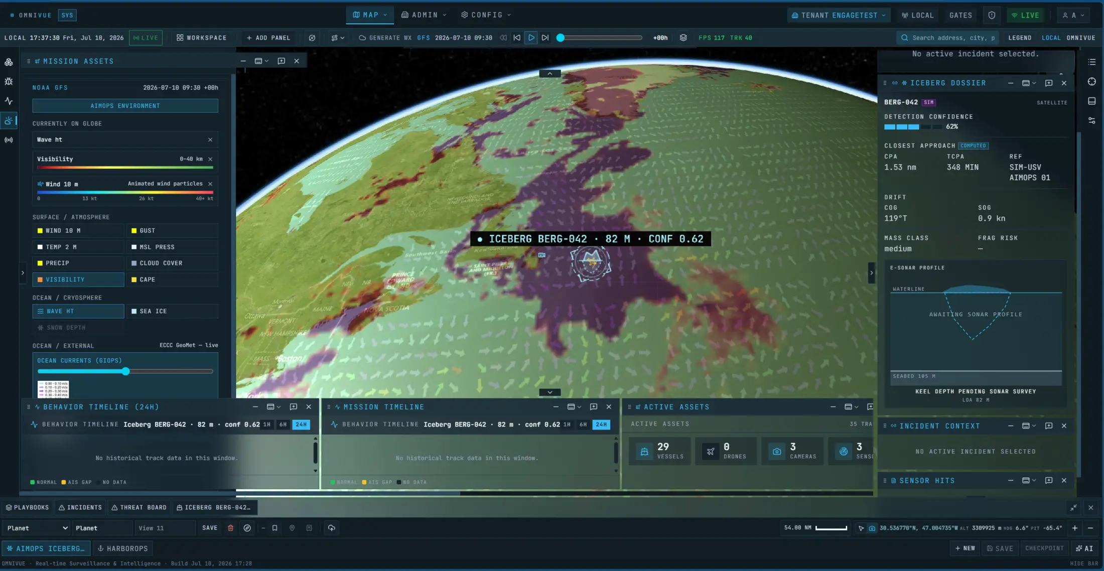
Ice observations, forecasts, vessel activity, weather and offshore assets in one view.
Relate drift, confidence, closest approach and time to act to your zones and infrastructure.
Send vessels, uncrewed systems, cameras or specialist partners to the targets that need a closer look.
Follow your ice management procedures, keep the evidence and leave consequential actions to operators.
03Views
Ice management spans hundreds of kilometres, but decisions are local. omniVUE moves between scales without forcing every task into one screen.
A wide-area map of ice fields, forecast corridors, data freshness and protected assets.
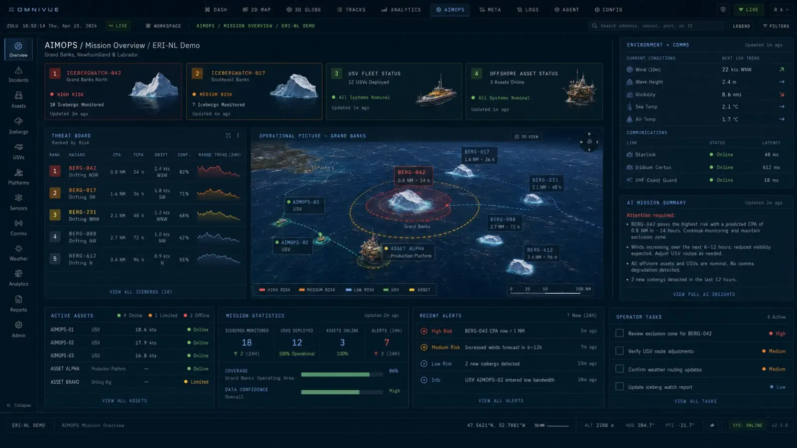
A focused workspace for monitoring assets, target tracks, sensor coverage and emerging threats.
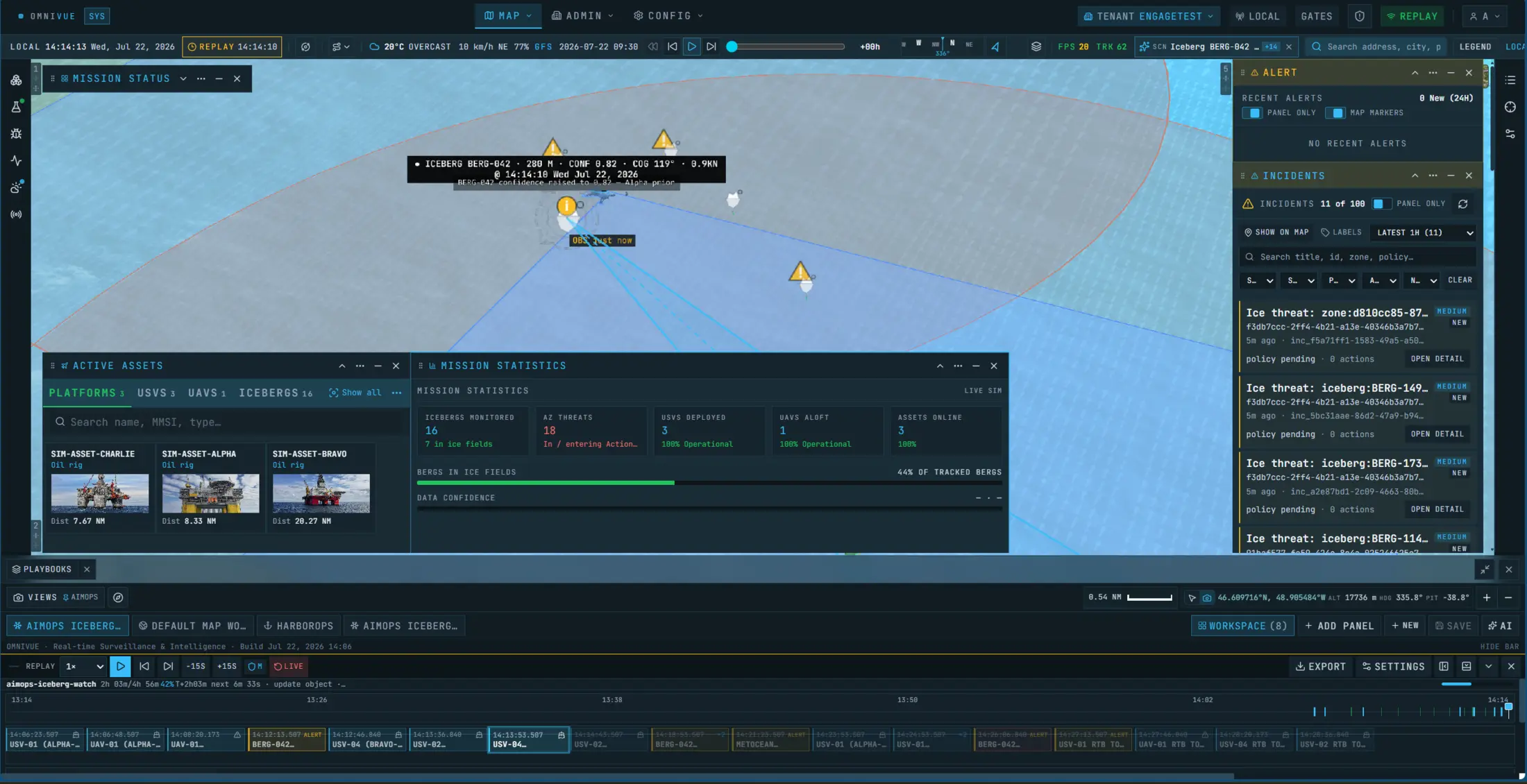
3D when the geometry between an iceberg, a platform and its monitors needs a closer look.
04Demonstrator
AIMOPS runs omniVUE's existing mapping, simulation, incident and workflow tools on an offshore ice mission. It is not a deployed autonomous ice management system.
First project
Define the area, the data you have, your action thresholds, monitoring resources and approval process. We set up a scenario that runs the whole loop.